Activities
Activities
Jokuldalur has become infamous after the discovery of Studlagil. But visiting the area you can explore and discover more hidden gems. There are several more hiking trails worth checking out. And following road 923 further south you get access to the Icelandic highlands via road F910 and drive to e.g. the Askja caldera or the dam from where the Jokulsa river origins. There are also several highland farms which can be visited in the summer.
We like to recommend check following hiking trails:
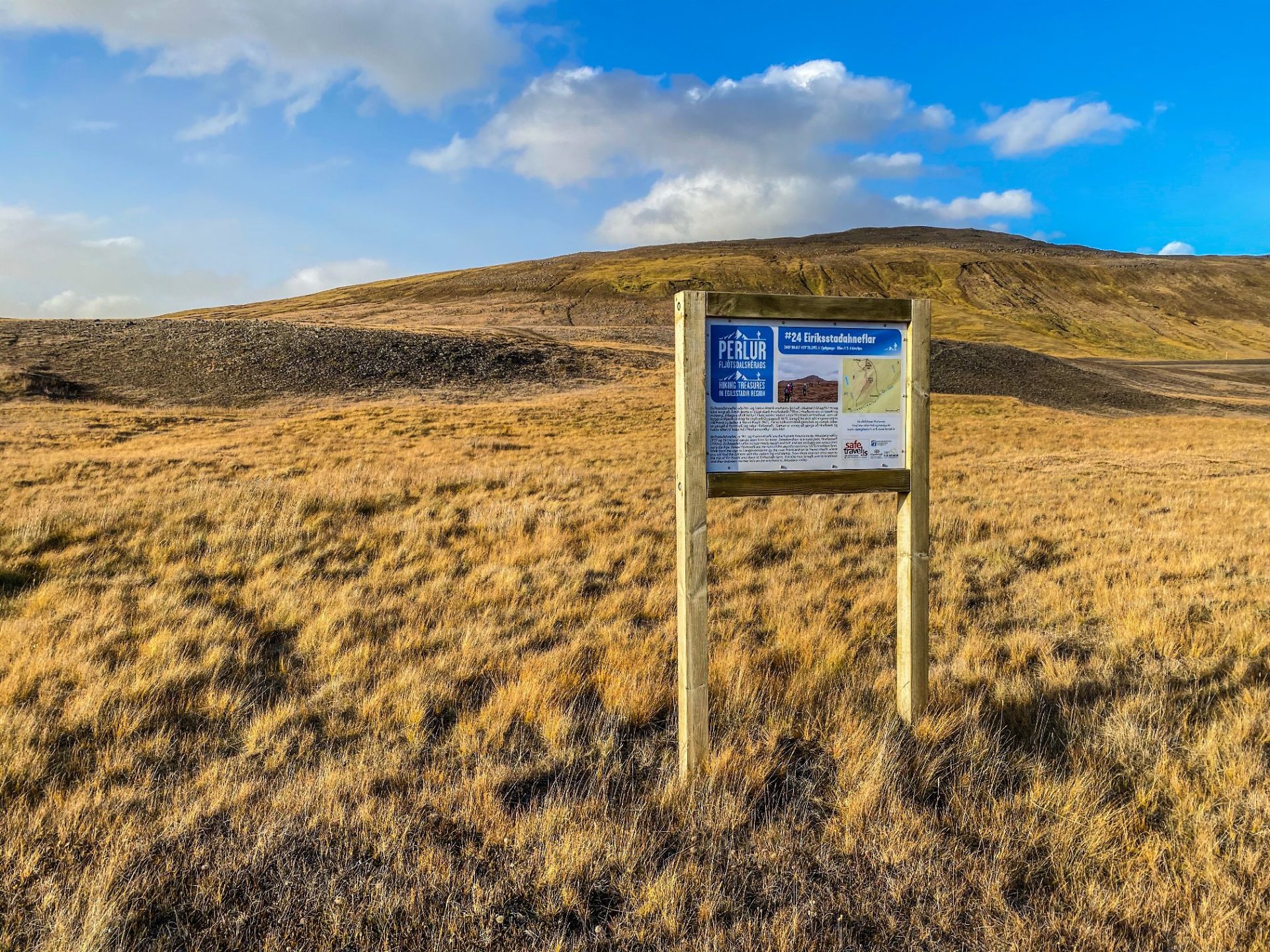
Eiríksstaðahneflar (N65°08.617-W15°28.195) // 5-6 hrs.
Eiríksstaðahneflar is one of the 30 Pearls of Austurlands region and refers to some of the most stunning hikes of the area.
On this hike you will get two for one as actually the mountains are two. This hike starts from the river Þverá south of Eiríksstaðir farm. The first mountain is Fremri Hnefill (947 m) and there you will find the cylinder with the visitors’ log and stamp. From there one can cross over to the top of Ytri Hnefill (922m) and down to Eiríksstaðir farm. It is also nice to walk over to the ruins of the farm Hneflasel which was abandoned in 1875 and between the two mountains on the way back.
Hnjúksvatn (N65°14.333-W15°15.887) // 3 hrs.
Hnjúksvatn is one of the 30 Pearls of Austurlands region and refers to some of the most stunning hikes of the area.
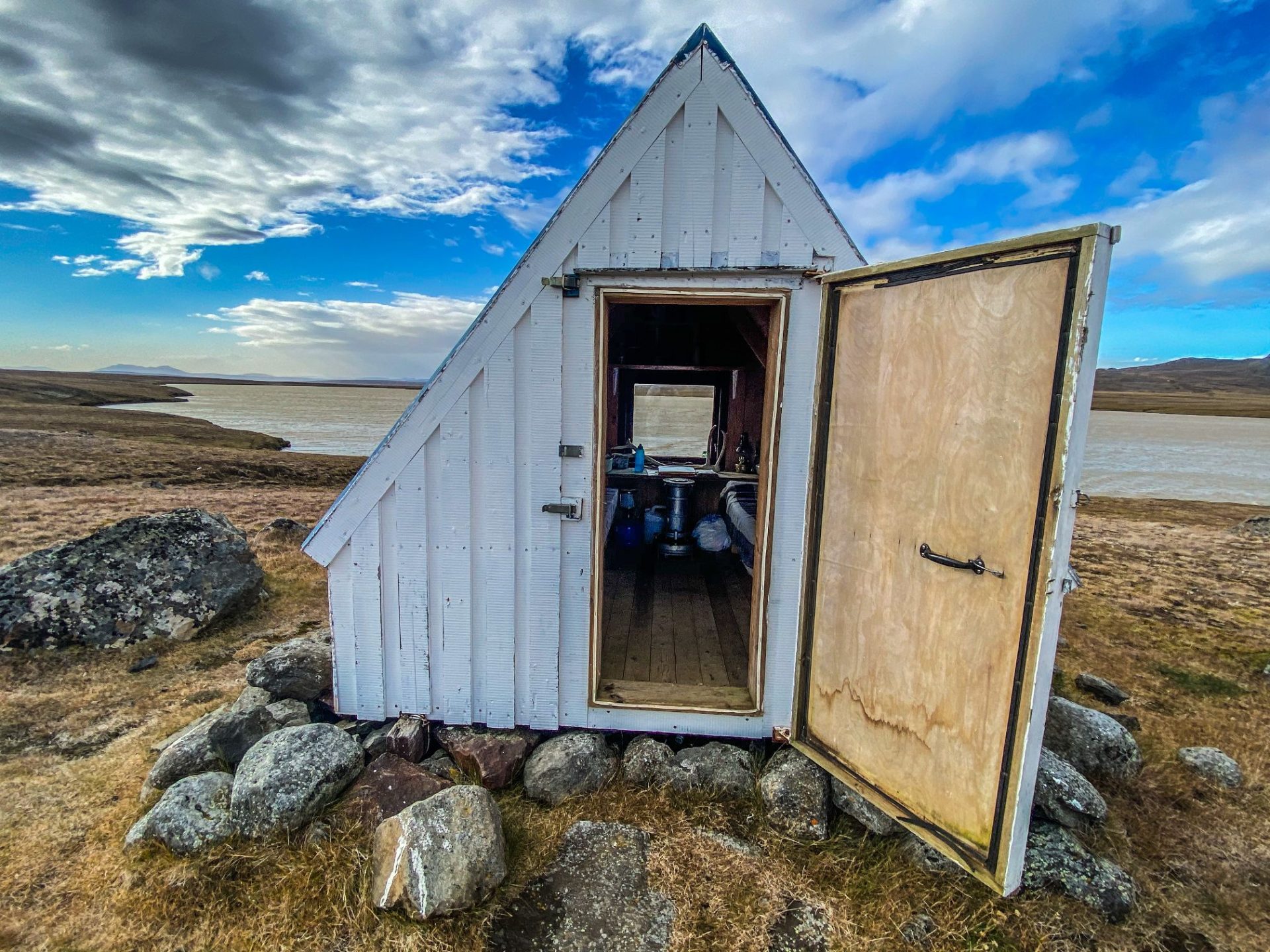
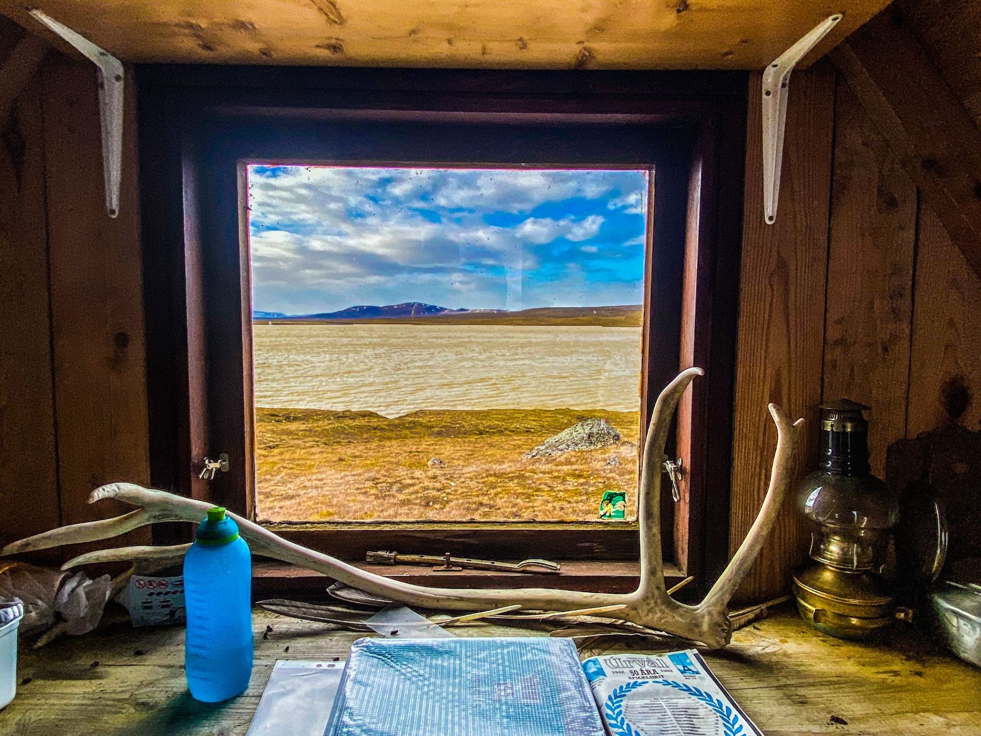
It is a lake on the heath across from Merki farm. The plateau on which the lake is located, is characterized by rounded cliffs and moors. To reach the lake, you should follow a trail along the Hnjúksá river. There you will find a hut, Binnubúð. Near the hut you will find the cylinder with the visitors’ log and stamp. Brynhildur Stefánsdóttir, a midwife from a farm in the area, had it built in 1983 for those who wished to visit and enjoy the highlands. Brynhildur loved the heath and the outdoors. She used to catch in this lake when she was young. She went across the river with a cable car with her nets and then carried the fish home the same way. After she became a midwife, she travelled the heath back and forth to deliver babies, in summer on foot, in winter on skis. Brynhildur passed only a few months after the hut was built so she unfortunately never had the chance to use it herself.
Magnahellir (N64°99.252-W15°71.683) // 0.5 hrs.
Magnahellir is one of the 30 Pearls of Austurlands region and refers to some of the most stunning hikes of the area.
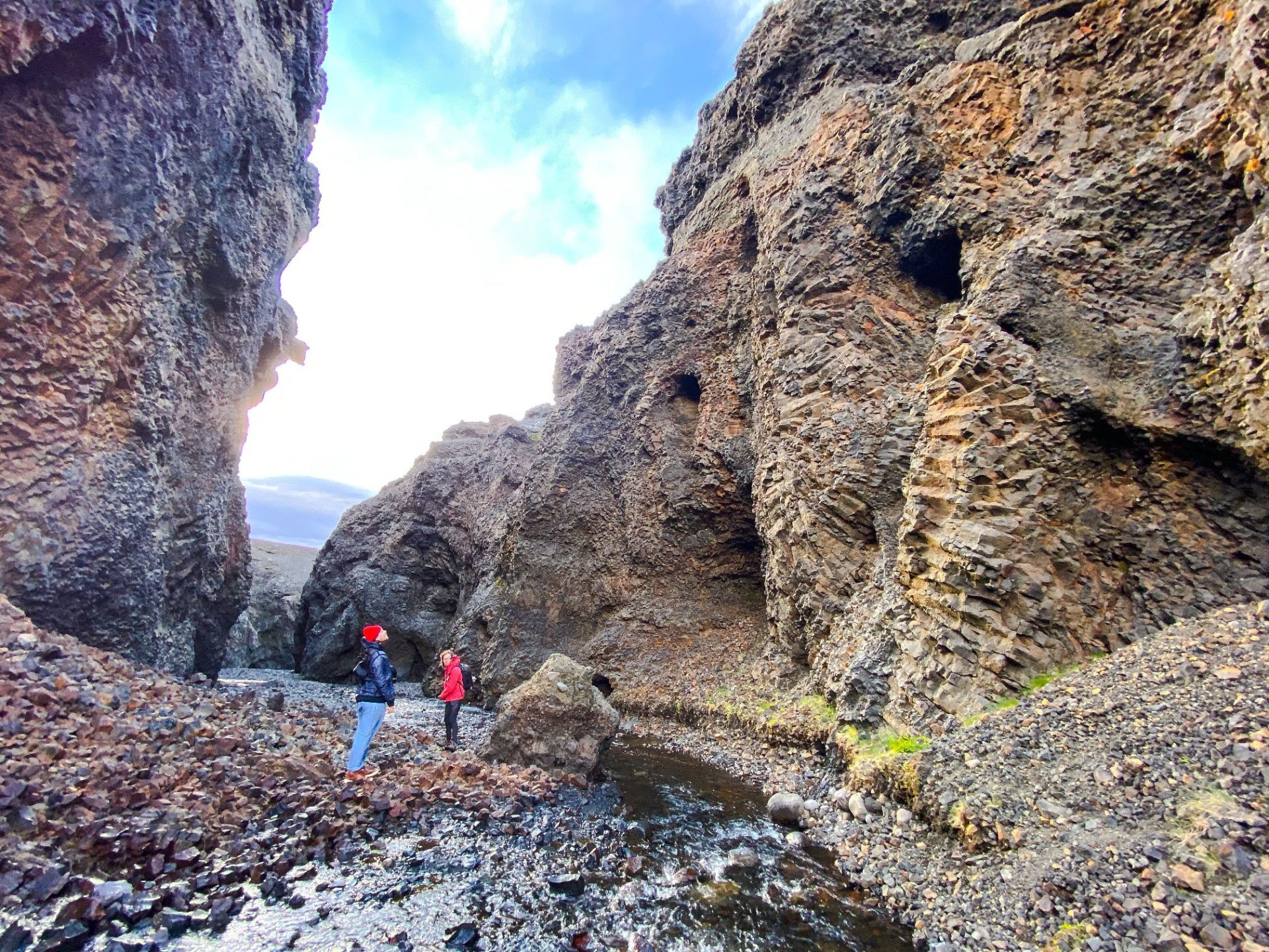
To reach this magnificent canyon, drive north of Kárahnjúkastífla reservoiruntil you come to the crossroads by Laugavellir (fit for 4×4 SUV’s). Drive down to a parking area by Dimmugljúfur canyons.
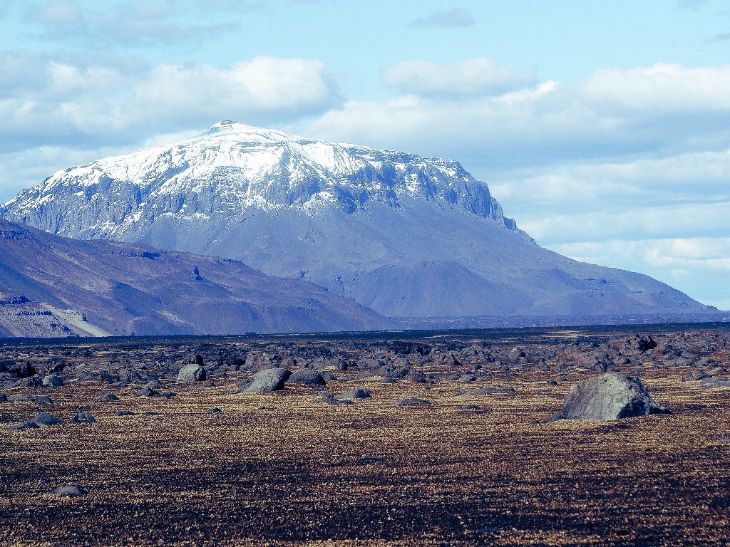
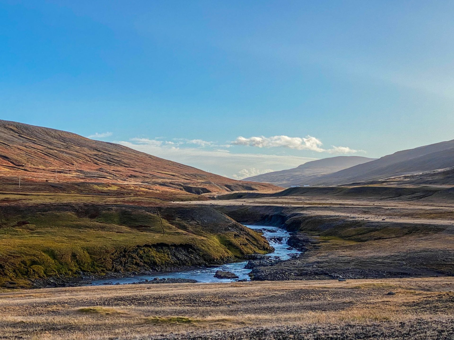
The impressive canyon stretches about seven to eight kilometers from the northern part of Vatnajökull icecap towards the valley Jökuldalur (Glacier Valley). With its 200 meter high walls and only about hundred to hundred and fifty meters width they seem narrow and intimidating as everything is dark and steep. It is believed that the river Jökulsá á Dal, which was the second most powerful river in Iceland, dug the canyon over millions of years through the palagonite layer and formed the canyon. On the parking, you will find a sign containing information and the trail running through the canyon and to Magnahellir cave, which lies in about 1,5 km. distance. A farmer named Magni from the farm Eiríksstaðir was the first one to keep his sheep there in winter.
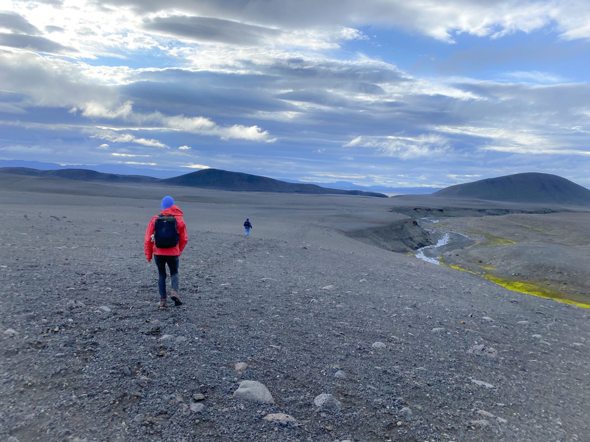
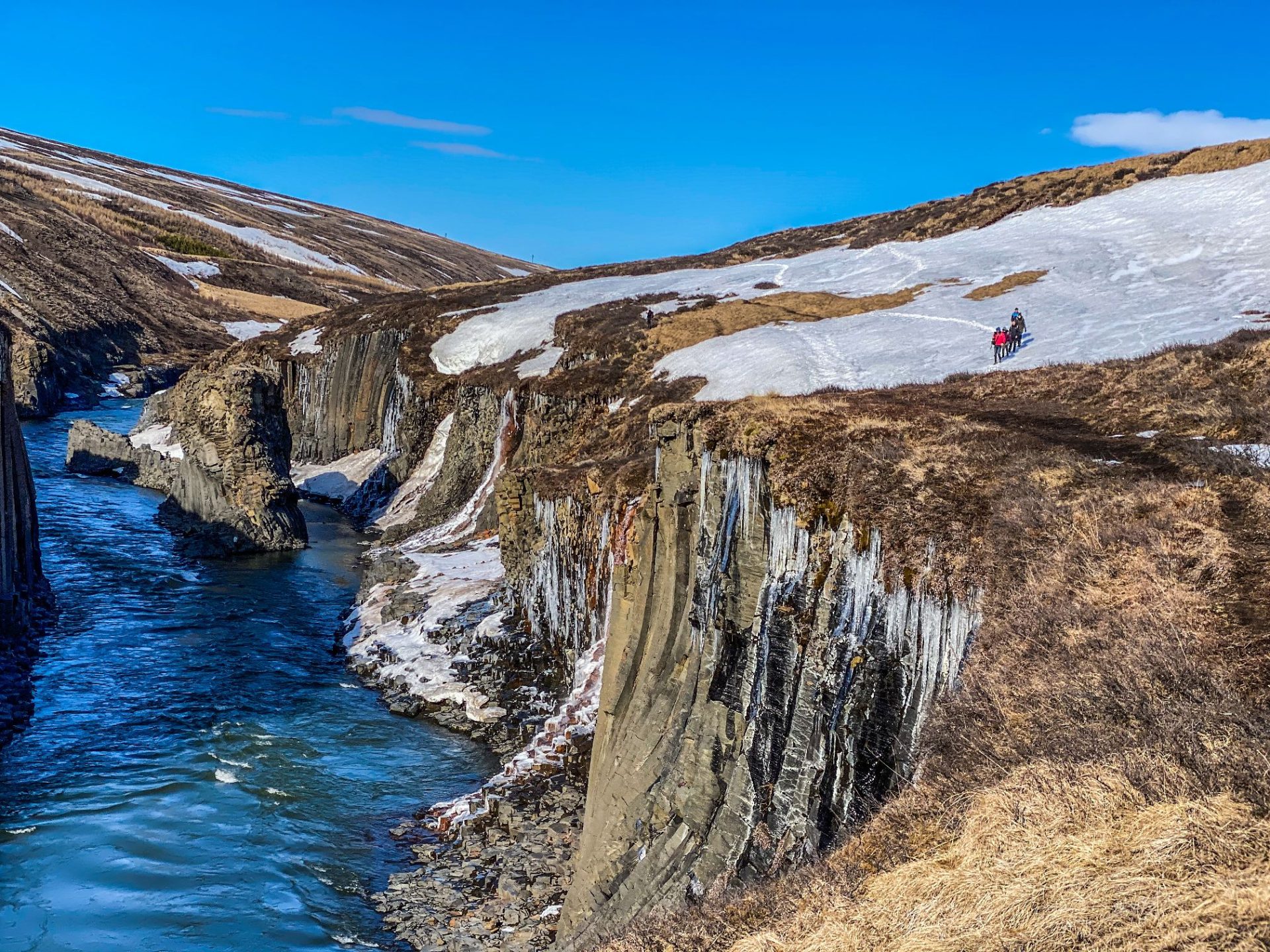
Hvannárgil (N65°16.868-W15°47.418) // 4 hrs.
Hvannárgil is one of the 30 Pearls of Austurlands region and refers to some of the most stunning hikes of the area.
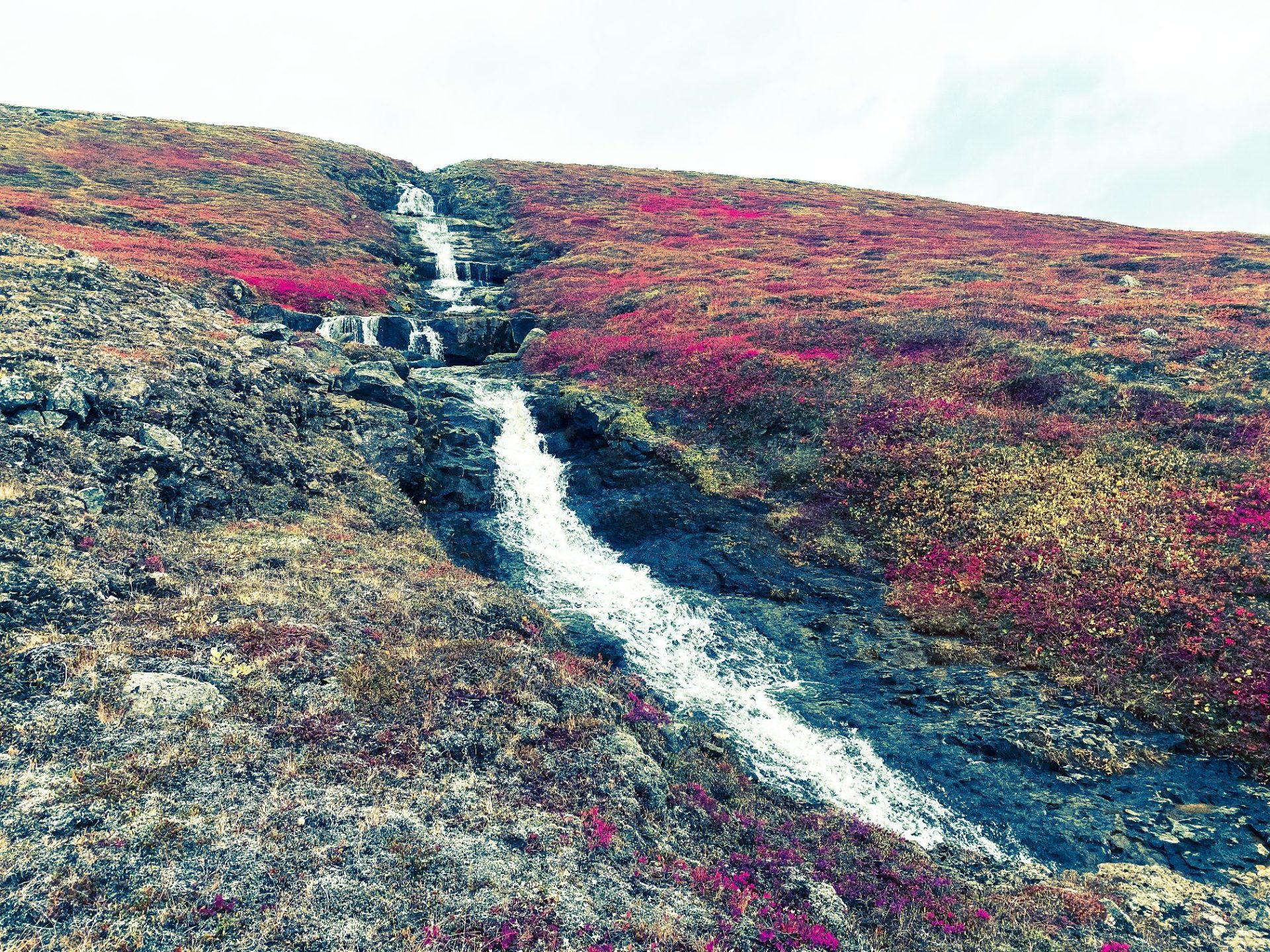
This spectacular canyon almost cuts the mountain range of Möðrudalur in two. It is divided into three parts and it takes approx. two hours to walk into the innermost part of it, which is the most magnifent and beautiful part. The hiking trail is circular and leads you through the canyon (N65°17.525 – W15°50.881) starting at the highest creek and through the lower ones on the way back to the starting point. It has beautiful rock formations and in the middle one is a gorge which is absolutely worth the effort. The highest creek is very impressive with a waterfall at its end. The cylinder with the visitors’ log and stamp is at the highest creek.
Grjótgarður at the farm Hjarðarhagi
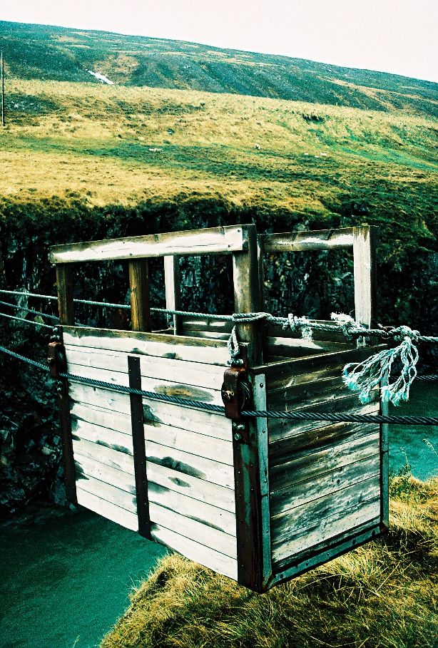
A walk of about two and a half hours, fairly short but quite steep. Park your cars at the crossroads to Hnefilsdalur. Pass through a marked gate and follow the staked trail up along the river Sauðá up to the edge of the slope to the stone wall or fence. Follow the fence until you’ve reached the cylinder with the visitors’ log and stamp. Keep on towards Teigará to the cairn and then walk back for a bit down a staked horse riding trail through Hestagil creek. The purpose of the stone wall is unknown but thought to have been a fence for farm animals.
Distance and elevation: 7,6 km and 300 m.
GPS Cordinates: (N65°21.391-W15°00.061)
Life in Jökuldalur
In the upper part of Jökuldalur, where Studagil canyon is located, sheep farming is the dominant profession of the farmers although many of them are also working a second job beside their farming in Egilsstadir or elsewhere. In this part of the valley the sheep roam freely in the nature during the summertime and can be seen almost everywhere. Jökuldalur is rich of wildlife whereas many species of animals habit the valley. Many species of birds lay their eggs here in the springtime. The white-fronted goose (highland goose) is the dominant habitant in this valley and can be seen in vast numbers during the summer all around the valley along with many other bird species. Wild reindeers can also be seen, particularly in the upper part of the valley. As this valley is located high and deep in the country far from the sea, the weather during summer times can be very good and stable, but also very hard and cold during the wintertime with relatively high freezing temperature and a lot of snow.
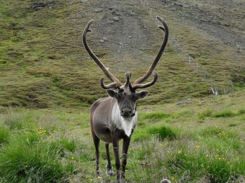
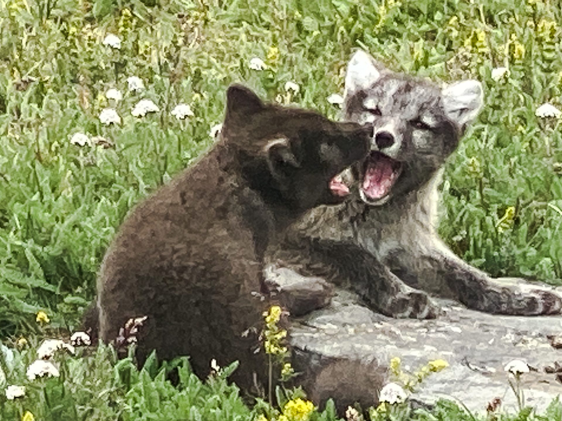
Reindeer
Reindeers are the characteristic animal in East Iceland. Their preferred area in the East region is in the highlands north and north-east of Vatnajökull and in the East Fjords. The reindeers in Efri-Jökuldalur are more visible in the winter and can be seen almost everywhere. In the summer however, the herds go further up to seek cooler climates and therefore are less likely to be seen in the valley during the summer. The reindeers travel between areas in the spring and autumn. There are no other deer animals that travel as far in large herds as reindeers do.
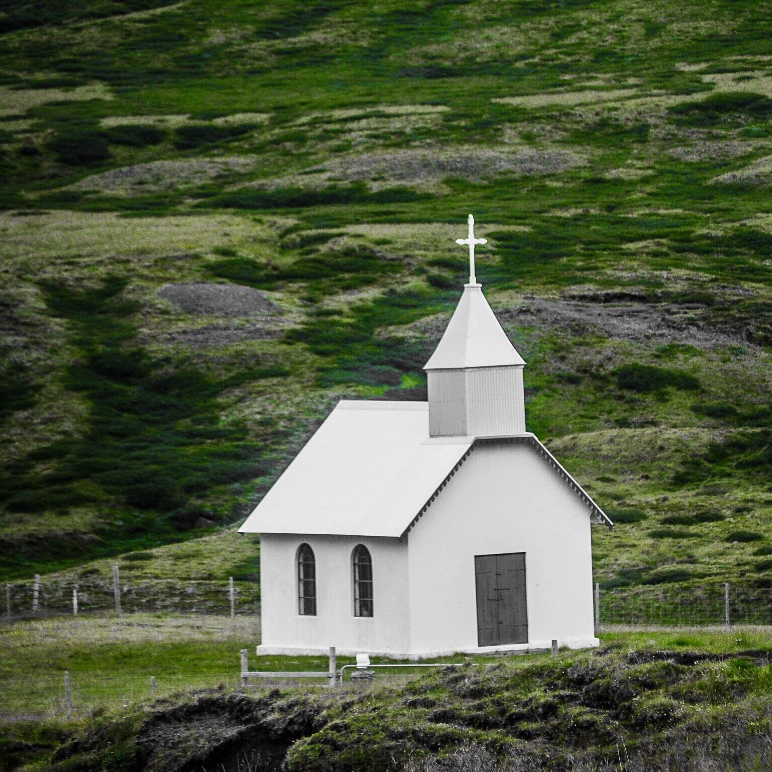
Eiriksstadir Church
The church at Eiriksstadir is the oldest concrete church in the east side of Iceland. The church used to be located at Bru, a farm not far from Eiriksstadir. In 1913 this church was moved from Bru to Eriksstadir. The altarpiece in the church was made by the painter Jóhann Briem, but the altar and the pulpit of the church used to be in the church at Bru. The old altarpiece located in the church once the church was at Bru was painted in 1794 by Jón Hallgrímsson and is now preserved at the National Museum of Iceland. This old church at Eriksstadir was built between 1911 and 1914 and during the construction period, only 80 packages of concrete was used to build the church.
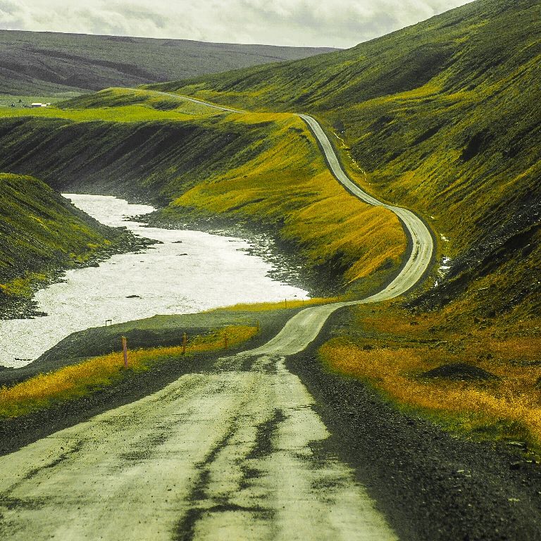
Jökla river
Jökla is one of the greatest river in Iceland stretching over 150 km, with its source in Vatnajokul glacier, passing through the upper and lower valley of Jokuldalur all the way to the sea. As a glacier river, before the days of Karahnjukar dam, this river bursts through the canyon in all its glory and magnificent force. Through the centuries this river has taken lives and caused damages on the land and livestock of the farmers.
Many old stories have preserved describing the living conditions and the habits of the people living in the valley. One picturesque story of these conditions highlighting the resourcefulness of the locals. The story describes how people communicated when it was impossible to cross the river. People used the echoes’ nature of the canyon to shout across in the canyon. In fact, this is a certain art that is hard learned and not for everyone to adapt. Communicating by shouting, people needed to know how sound travelled across in the wind, demanding the shouter to be situated correctly and of course shout loud enough. Habitants used to follow the river’s behaviour closely in order to estimate the weather and find good timing to cross the river. After bridges emerged in the valley these techniques and capabilities of the people in the valley have vanished.
Cable Wagons
In the old days no bridge had been built over river Jökla, people used cable wagons made of timber to cross the river. Approximately one and sometimes two persons fitted inside a cable wagon which then had to be pulled across by wires which were strung on either side of the river. The Cable wagon were situated at Eiríksstaðir, Brú and Merki. The farmer Stefán from Merki rebuilt this cable wagon at Merki in its original form which can be visited.
Before the hydroelectric plant Kárahnjúkavirkjun was built between 2004-2007 the river Jökla was one of the biggest and most powerful glacial rivers in Iceland. Therefore, it was often very dangerous to cross the river by using the cable wagons. If the cable wagons could sometime be a bit too heavy so it touched the river sometimes resulting the wagon to turn upside down.
Upper Jökuldalur
“Efri-Jökuldalur” is a part of Jökuldalur that stretches inland from Gilsá almost beside Highway 1 all the way to the north part of Vatnajokull. Efri-Jökuldalur is an interesting and complex area. The vegetation is very sensitive, so visitors are kindly asked to park cars only in marked parking lots or where no grass or plants are nearby.
The climate in the upper valley (Efri-Jökuldalur) is quite unique and characterized by relatively large fluctuations in temperature as well as high temperature differences depending on the seasons. In the valley, there are more freezing days during the winter compared to the surrounding areas, but much fewer rainy days than closer to the coastline.
More places and activities in Jökuldalur
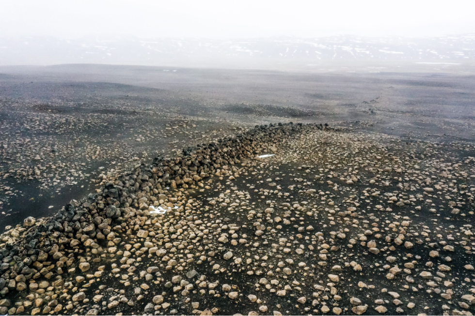
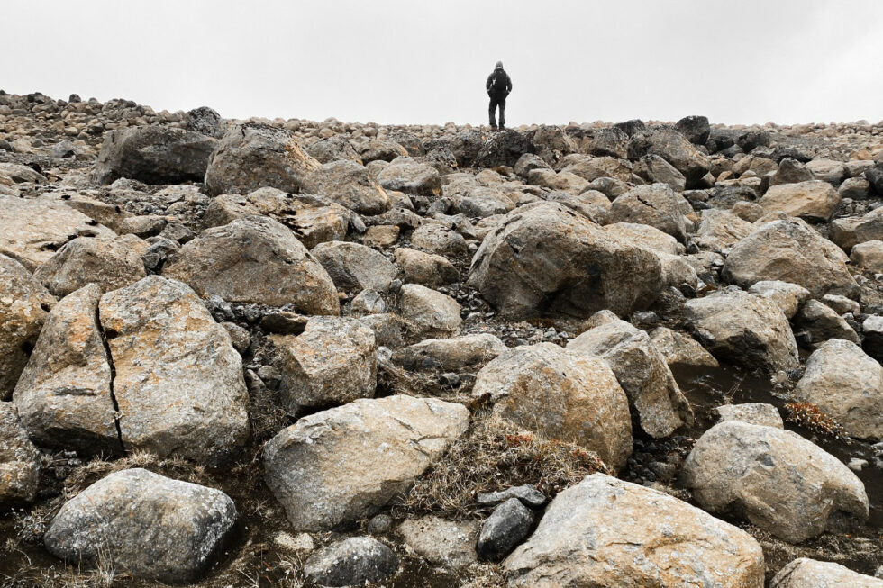
Skessugarður – the Rampart of the Giantess is a natural phenomenon in East-Iceland, which has been called one of the most interesting natural formations in east Iceland . It was formed by an ice-age glacier, Brúarjökull. It is a large arche-shaped moraine and consists of massive boulders (porphyritic basalt) making up a ca 300 meter’s long and ca 7meter’s high natural wall. It lies from west to east. It markes the stagnation level of Brúarjökull at the end of the last glacial period.
After the stagnation of the glacier, a flood followed which washed this area clean of smaller rock leaving behind the big ones which makes this moraine unique as it lacks all smaller, finer sand particles and stones, or the glacial flour.
Skessugarður is located by the lake Grjótgarðsvatn west of Sænautasel turf house on the other side of Mt. Sænautafell. Turn left onto the old ring-road (number 907, a gravel road) after you leave Sænautasel and drive for a couple of km. Then turn left onto a dirt road, which turns into a track until you reach Skessugarður after 2 km.